QGIS плагин для подготовки участков недр из лицензий Роснедра.
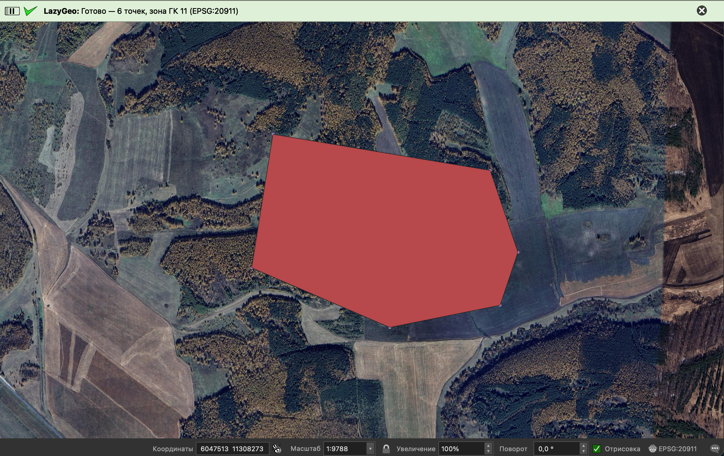
Читает Excel с координатами угловых точек участка недр в формате ГМС (ГСК-2011), конвертирует в проекцию Гаусса-Крюгера с автоматическим определением зоны, создаёт слой точек и полигон участка на карте QGIS и добавляет спутниковую подложку.
Дальнейший экспорт (SHP, DXF, GeoJSON и др.) выполняется стандартными средствами QGIS.
- QGIS → Модули → Управление модулями → найди «LazyGeo» → Установить (плагин опубликован в репозитории QGIS, zip-файл можно также скачать там вручную или взять из Releases на GitHub)
- Открой плагин через Модули → LazyGeo
- Выбери Excel → при необходимости поправь название слоя → Запустить
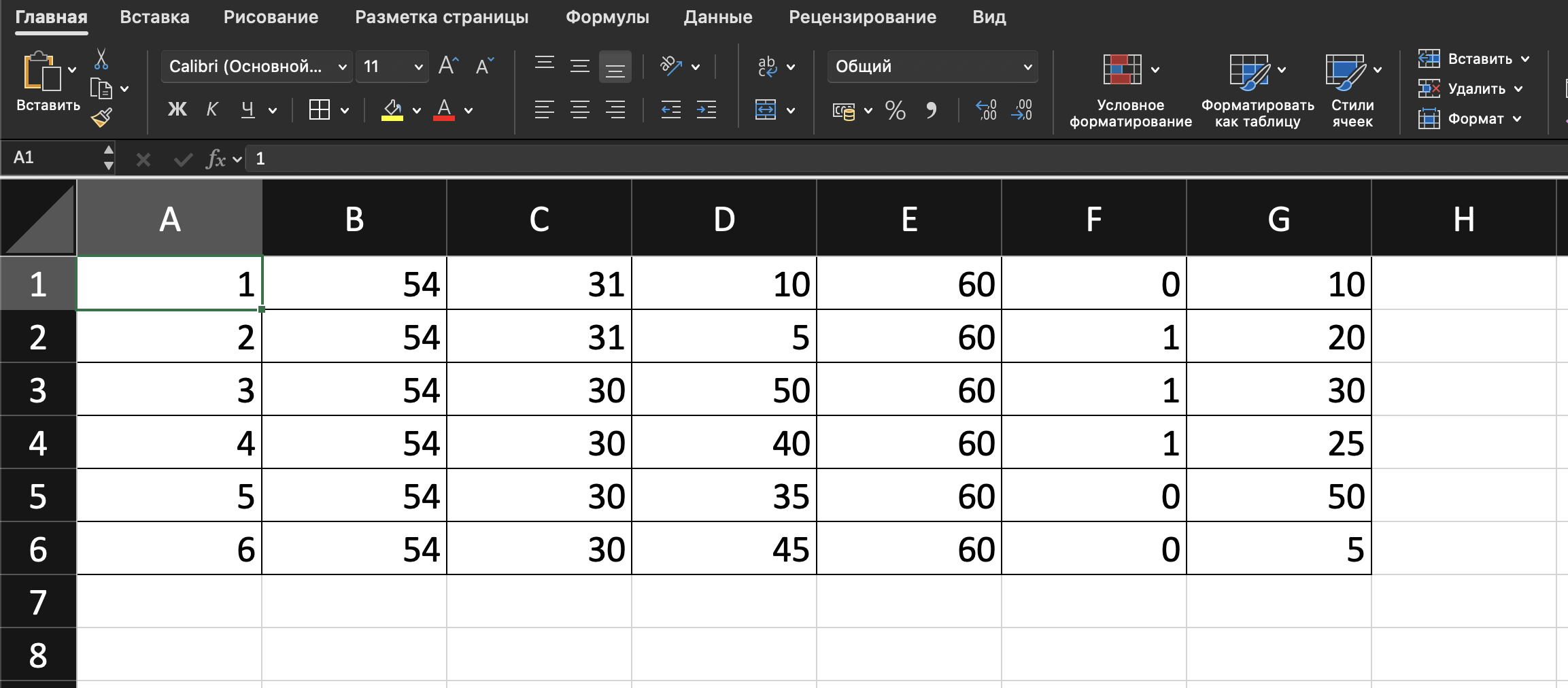
7 колонок, координаты в ГСК-2011 в формате ГМС (градусы-минуты-секунды). Заголовки не нужны — данные сразу с первой строки:
1  | 54 | 30 | 47,102 | 59 | 54 | 28,465
2  | 54 | 30 | 15,220 | 59 | 56 | 31,257
Порядок колонок: № | Широта ° | ′ | ″ | Долгота ° | ′ | ″
Зона Гаусса-Крюгера определяется автоматически.
- QGIS 3.16+
MIT
QGIS plugin for preparing mineral license areas from Rosnedra licenses.
Reads an Excel file with corner point coordinates of a mineral license area in DMS format (GSK-2011), converts to Gauss-Kruger projection with automatic zone detection, creates a point layer and polygon in QGIS with a satellite basemap. Further export (SHP, DXF, GeoJSON, etc.) is done via standard QGIS tools.
- QGIS → Plugins → Manage and Install Plugins → search "LazyGeo" → Install (also published on the QGIS plugin repository, where the zip can be downloaded manually, or grab it from GitHub Releases)
- Open the plugin via Plugins → LazyGeo
- Select Excel → adjust layer name if needed → Run
7 columns, coordinates in GSK-2011 in DMS format (degrees-minutes-seconds). No header row — data starts from the first row:
1  | 54 | 30 | 47.102 | 59 | 54 | 28.465
2  | 54 | 30 | 15.220 | 59 | 56 | 31.257
Column order: # | Latitude ° | ′ | ″ | Longitude ° | ′ | ″
Gauss-Kruger zone is detected automatically.
- QGIS 3.16+
MIT